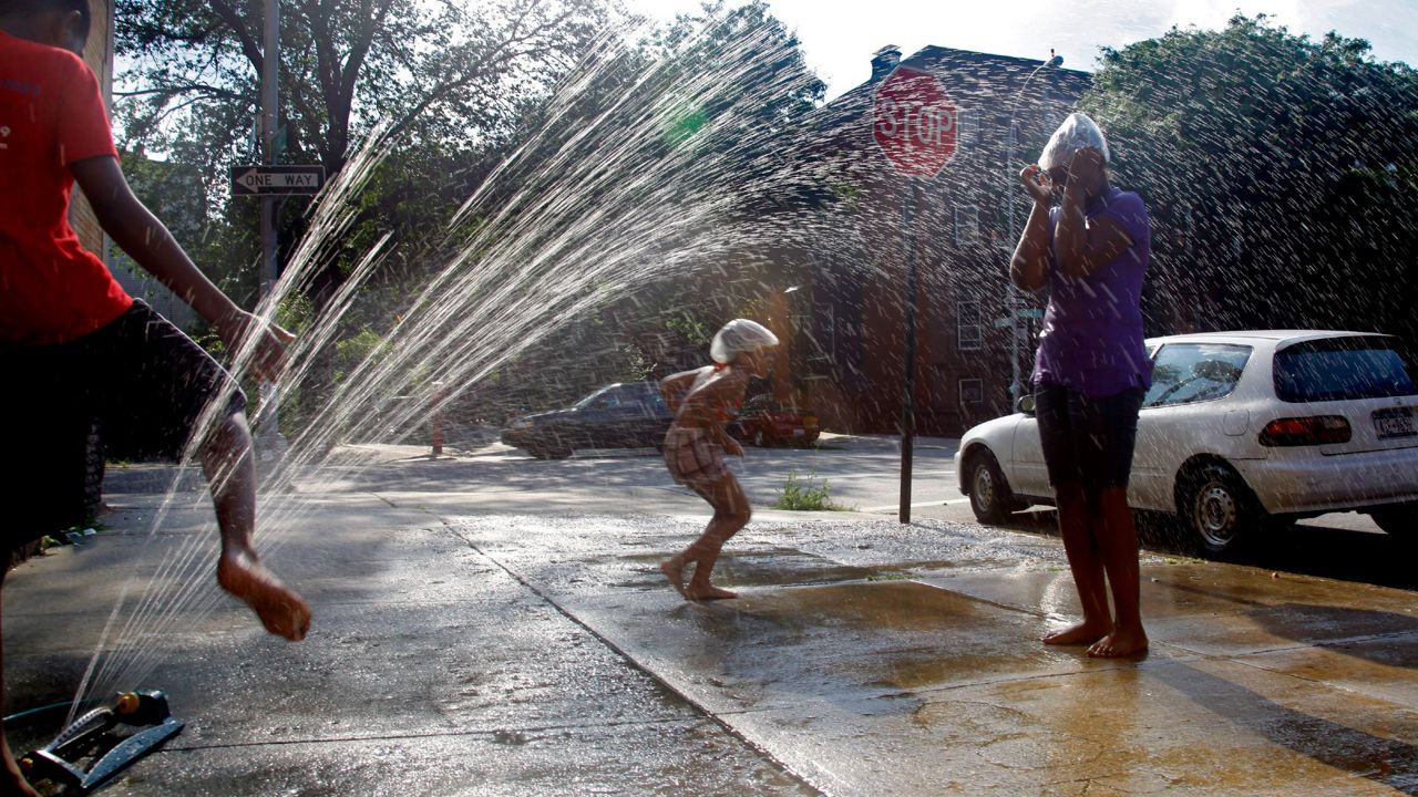
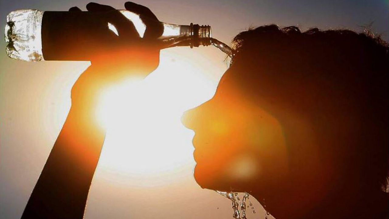
This summer, NOAA is going to study extreme heat in fourteen cities using community scientists, and Brooklyn is one of them.
This will be the fifth summer for NOAA’s (National Oceanic and Atmospheric Administration) research into heat islands. These are neighborhoods in cities where temperatures can be as much as twenty degrees hotter than surrounding areas. You can read more about heat islands here.
Besides Brooklyn, 14 other cities in the United States and two international cities will take part in the study.
These heat islands are often in communities of color and low-income areas. In past studies, NOAA has found that extreme heat is affecting these communities more than others. The funding for this study is part of the Biden administration’s Justice 40 initiative. It looks to make sure that federal investment in climate and clean energy benefits communities at risk.

People in Brooklyn will learn how to use professional meteorological instruments this summer. The sensors will collect temperature, location, time of day and humidity every second.
These citizen scientists will collect the information on the hottest days. Last summer’s urban heat island study used 799 citizen scientists. They took 1.2 million measurements in 24 communities. Some sensors were also on cars and bikes.

This data is being used to make these communities cooler. This could happen by planting more trees or building cooling units at bus stops. The data will also help create community awareness campaigns to make people more aware of how deadly extreme heat can be.


