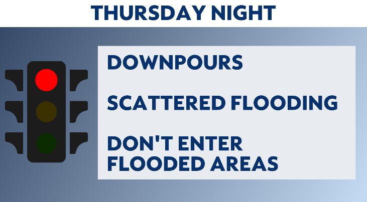
NEW YORK — The Emergency Management Department has issued a travel advisory through Friday due to potential flash flooding as thunderstorms hit the city.
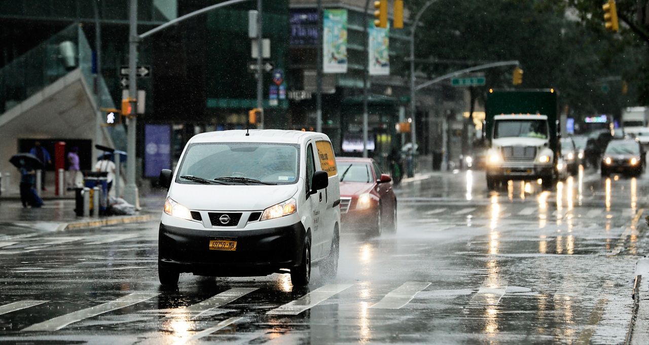
The storms could bring heavy rain to the city beginning this evening and then exit during the early morning hours Friday.
The National Weather Service has issued a Flash Flood Watch for the entire city from late this afternoon through early Friday morning. Track the storms on radar, and be sure to sign up for severe weather alerts.

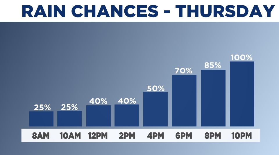
The worst of the storm is expected to last until around 8 p.m. Thursday.
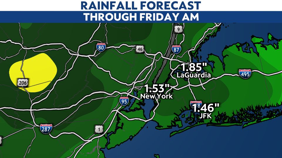
Most of the city will see 1 to 2 inches of rainfall over about a six-hour period. That will be enough to cause flooding in the usual spots like the FDR Drive, Belt Parkway and the West Side Highway.
Wind damage is a concern, too, with gusts over 40 mph possible.
Remember to never walk or drive into a flooded area. You never know how deep it is or what other hazards could be hidden by the water.
Major flooding like we saw with Ida is not likely.
We will be tracking the storms closely. Share your weather pictures here, and be safe when taking any pictures.