


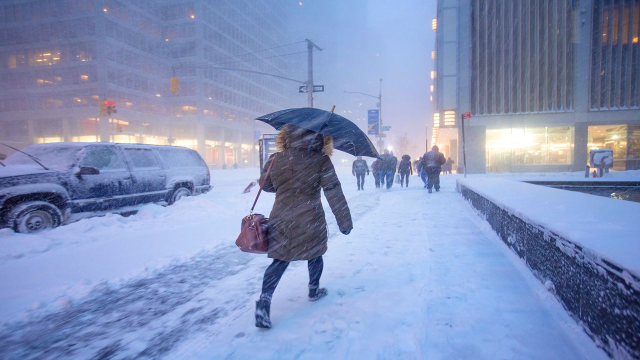
Winter brings all sorts of weather hazards - snow, ice, wind, and dangerously cold temperatures. Depending on where you are and when it happens, though, you can see very different impacts. The National Weather Service introduced its experimental Winter Storm Severity Index (WSSI) in 2018. It’s now an official forecast tool.
Sometimes, it’s hard to know what a certain kind of weather will mean for your plans. Is a couple of inches of snow noteworthy? Sometimes not, but if there’s a 20 mph wind blowing and it falls during the morning drive, it's a different story. The WSSI incorporates individual or multiple weather elements into one overall piece of information.
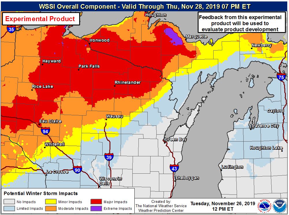
The WSSI includes six elements, which are each assigned an impact: limited, minor, moderate, major, and extreme.
The highest individual impact level is what the overall WSSI impact becomes. So, if your town has a minor snow impact and a moderate blowing snow impact, then the WSSI marks that as moderate.
Snow amount considers snowfall accumulation (the amount of snow) or snowfall rate (how heavily the snow is falling). Geography also comes into play: places that don’t get as much snow will get a higher severity rating than those who do typically get more snow. Urban impacts also skew a little more severe than rural areas.
Snow load deals with the weight of the snow. Heavier snow weighs down on things such as trees, so snow load is rated higher in forested areas and cities compared to grasslands.
Ice accumulation covers the effects of icing on infrastructure. Once again, ice in cities rates a little more severe than in the country. Wind is also factored in, since breezes hitting ice-coated powerlines can cause more problems than when the air is calm.
Flash freeze occurs when the temperature is above freezing but is forecast to quickly fall below freezing during or after precipitation. This can cause sudden travel problems by turning wet roads icy in a short time.
Blowing snow accounts for the combination of snow and wind causing blowing and drifting. Like other snow categories, this considers land use. Grasslands will have more problems from blowing snow than densely forested areas.
Ground blizzard looks at the effect of the wind on snow that’s already fallen. Yes, blizzard conditions can happen even when no snow is falling. And just like the blowing snow category, this one looks at land type to determine the impacts.
The WSSI that you see today isn't the same as the one that was first released in late 2018.
Partners from both inside and outside the National Weather Service gave feedback on what worked and what improvements the WSSI needed.
Jim Nelson and Stephen Baxter, National Weather Service meteorologists involved in the WSSI, say that conversations with the agency's social science team led to changes to the wording of the impact levels. For consitency with other National Weather Service messages, they also adjusted the colors for the different impacts.
The snow amount and flash freeze elements also use better data than when the WSSI first rolled out.
While the aim of the WSSI is to help communicate winter weather threats, there's still the potential for confusion to arise.
JD Rudd, chief meteorologist at Spectrum News in Wisconsin, expresses concern about too much reliance on colored maps and expecting people to figure out for themselves what's coming.
"The first couple of snowfalls of the season are always tricky as people remember how to handle it," says Rudd. "Come January/February, we're all pros at flying through six inches of fresh snow."
As Rudd points out when it comes to travel, the same amount of snow can have a higher impact in November than in February, but the WSSI doesn't currently account for that.
Even though the WSSI has reached "operational" status, Nelson and Baxter still foresee changes. The team is looking into adding more elements on top of the six that it encompasses now, as well as giving users the odds that a certain impact will happen.
They're also exploring breaking up each day's forecast into shorter pieces and extending the length of the forecast from the current 72 hours all the way out to 7 days.