


The city is bracing for a weekend winter storm, and officials are stressing to New Yorkers to stay off the roads Saturday night if possible.
The concern is about how quickly conditions will change. Officials warn the storm is unpredictable and is carrying a lot of moisture. It will also be followed by some extreme cold, making for slick conditions.
The city is slated to be under a Winter Storm Watch from noon Saturday to 6 p.m. Sunday.
WHEN WILL THE SNOW BEGIN TO FALL?
The official NY1 forecast says snow will begin to fall between 5 p.m. and 7 p.m. Saturday, with the heaviest of the snow falling between 8 p.m. and midnight. Two to 4 inches of snow are expected to fall Saturday evening. Totals will be highest in the northern parts of the city (the Bronx and parts of Queens).
The snow is expected to turn to ice, and then to heavy rain, in the overnight hours. An additional two inches of precipitation is expected after the precipitation changes from snow.
Rain is expected to ease by 9 a.m. Sunday and then end around noon.
The storm could lead to snowy streets and sidewalks Saturday night, and then lead to flooded streets in the overnight hours as the snow turns to rain. There are also concerns about downed trees.
Travel in areas north of the city will be dangerous with snowfall near or over a foot. Significant icing is expected north of the city as well.
The city says Con Edison has extra crews on standby.
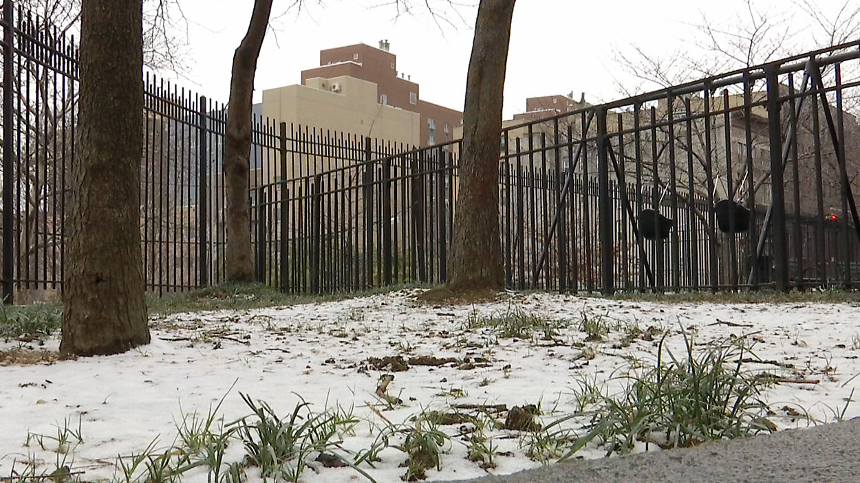
The city hasn't had any significant snow since the surprise November storm. For the season, we have faced only 6.4 inches. Last year at this point, we already had 17 inches. Overall, we're only 2 inches below average.
The large and powerful winter storm soaked the West Coast earlier this week and is now taking aim at the Ohio Valley and New England, although it isn't a nor'easter.
The track of the storm will actually spare New York City from major snowfall, however. Dangerous travel is in store for the Hudson Valley, Poconos, Catskills, Western New York and New England. Over a foot of snow is likely in those locations, along with potentially crippling icing.
A DANGEROUS COLD SNAP
Once the weekend storm moves out of the area, frigid temperatures are expected to move in. Temperatures may fall as much as 15 degrees over a three-hour span Sunday afternoon into Sunday evening, and that may cause wet roads and sidewalks to freeze up.
Temperatures are expected to be in the low teens by midnight Saturday, and the frigid weather will carry over into Monday, with temperatures getting as low as the single digits. The normal high at this time of the year is 38 degrees.
Wind chills will be even lower — 10 to 15 degrees below zero — on Monday.
The city will see high temperatures in the 40s again by mid-week when the next storm arrives.
HEATING AND SAFETY
The mayor is also urging New Yorkers, who are already having difficulty with their heat and hot water, to notify 311 Friday so the city can try and rectify the situation.
Call 311 or log on to NYC.gov if you have heating complaints. According to the city, landlords are required to maintain the heat inside at 68 degrees Fahrenheit or above when the temperature is 55 degrees or below outside between 6 a.m. and 10 p.m.
Between 10 p.m. and 6 a.m., landlords are required to maintain the heat inside at least 62 degrees Fahrenheit or above, regardless of the temperature outside.
The city is reminding New Yorkers to call 311 if they see a person living out on the street, as a person can suffer frostbite in 30 minutes.