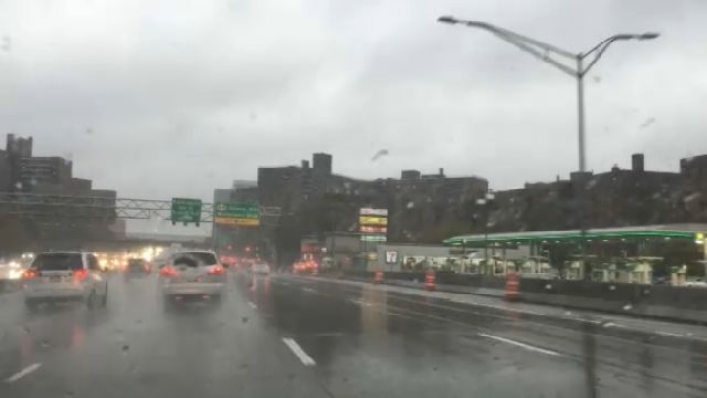
New Yorkers living in flood-prone areas are feeling a bit anxious about the weather after a nor'easter slammed New York City on the five-year anniversary of Hurricane Sandy.
The storm is forecast to dump a total of 3 to 4 inches of rain on the city, with most areas projected to get close to 4 inches of rain.
A Flash Flood Watch is in effect for the city until 10 a.m. Monday, and a Flood Warning is in effect until 11:30 p.m.
Street flooding will continue to be an issue in the city. Leaves falling off the trees can worsen the problem, as they can block drains.
The rainfall, which was mostly light in the morning, has been very heavy at times since early Sunday afternoon.
Flood advisories were issued for the city for street and highway flooding in areas that typically flood.
Wind gusts of 50 to 60 miles per hour are possible.
A High Wind Warning was in effect for the city until 6 a.m. Monday. With a saturated ground, New Yorkers could see some trees totally blown over due to the ground being soft and the winds becoming stronger.
Winds speeds of at least 20 miles per hour are expected Monday morning until the afternoon. Monday morning, there could be wind issues with the commute, with downed trees, scaffolding issues, and construction debris possible. Some passing light rain is possible before 9 a.m.
- Check our NY1's coverage of the five-year anniversary of Hurricane Sandy.
Moisture from Tropical Storm Philippe — which will not come to the city — is enhancing the Nor'easter.
For Halloween on Tuesday, the city is slated to be drier and brighter, with daytime temperatures in the upper 50s.
The Oct. 29 record for rainfall at JFK Airport was broken Sunday, and the same record is likely to fall before midnight for LaGuardia Airport.
The Oct. 29 rainfall record for Central Park is 3.63 inches.
As a precaution, Gov. Andrew Cuomo activated the state's emergency operations center, directing all state agencies to be prepared to deploy resources as the storm moves across the city.
Keep track of the forecast with our Weather on the 1s.


