


A few cold snaps aside, winter weather has been more or less non-existent this season. Yet, a winter storm could bring the Big Apple its first “real” round of winter weather early this week.
While meteorological spring begins on Wednesday, March 1, our last two days of meteorological winter will go out with a bang.
The storm system that originated off the West Coast late last week will move across the Great Lakes on Monday. With this, another area of low pressure will develop off the Mid-Atlantic coast on Monday evening.
The energy of both these systems will work in tangent, bringing the region an impactful dose of winter weather.
Beginning Monday evening, precipitation from this system will spread into the region from the west. Much of the New York City metro area will see snow at the onset before seeing a changeover to a wintry mix and/or rain as this system wraps up and moves out later on Tuesday.
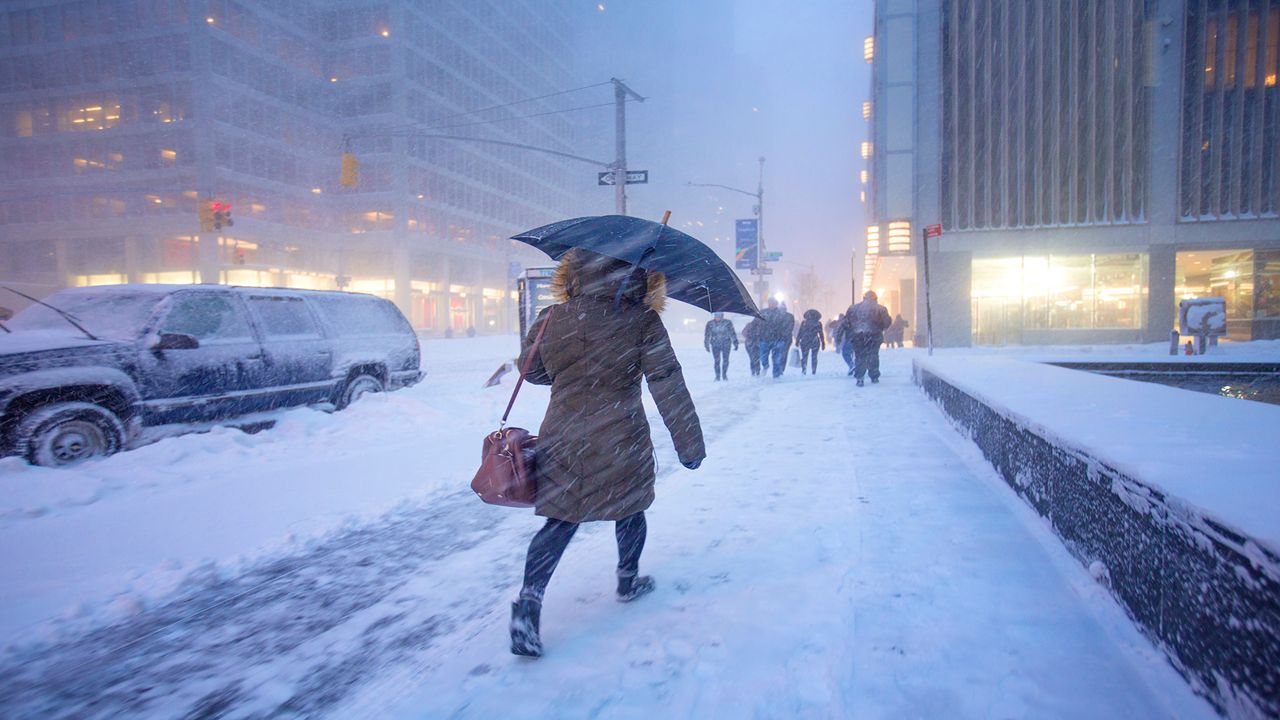
Based on the latest model data, New York City could see anywhere between 3 to 6 inches of snow by the time the system moves out on Tuesday. Although these predictions are subject to change provided there is a shift in the storm’s path. This remains the biggest forecasting challenge.
If the track is shifted farther north, the city will likely see more rain mixing in, yielding lower totals. If the track stays farther south and east, less mixing will occur, allowing for more snow to accumulate.
Areas north and west of the I-95 corridor will likely see the most snow, with accumulations sharply cutting off for places closer to the coast.
Regardless of how much accumulates, though, this wintry weather will make for hazardous travel conditions after the evening commute on Monday through Tuesday morning.
All five boroughs are under a Winter Weather Advisory beginning this evening until Tuesday afternoon. Winter Storm Warnings are in effect north and west of town, where heavier and steadier snow anticipated.
Precipitation aside, this system will also bring gusty winds and could evening cause some minor coastal flooding during times of high tide early Tuesday morning.
Our meteorologists will continue to keep a close eye on the storm and provide the latest updates.
Our team of meteorologists dives deep into the science of weather and breaks down timely weather data and information. To view more weather and climate stories, check out our weather blogs section.