The polar vortex can bring severe cold and storms. This winter, there’s a satellite that is helping forecasters track it innovatively.
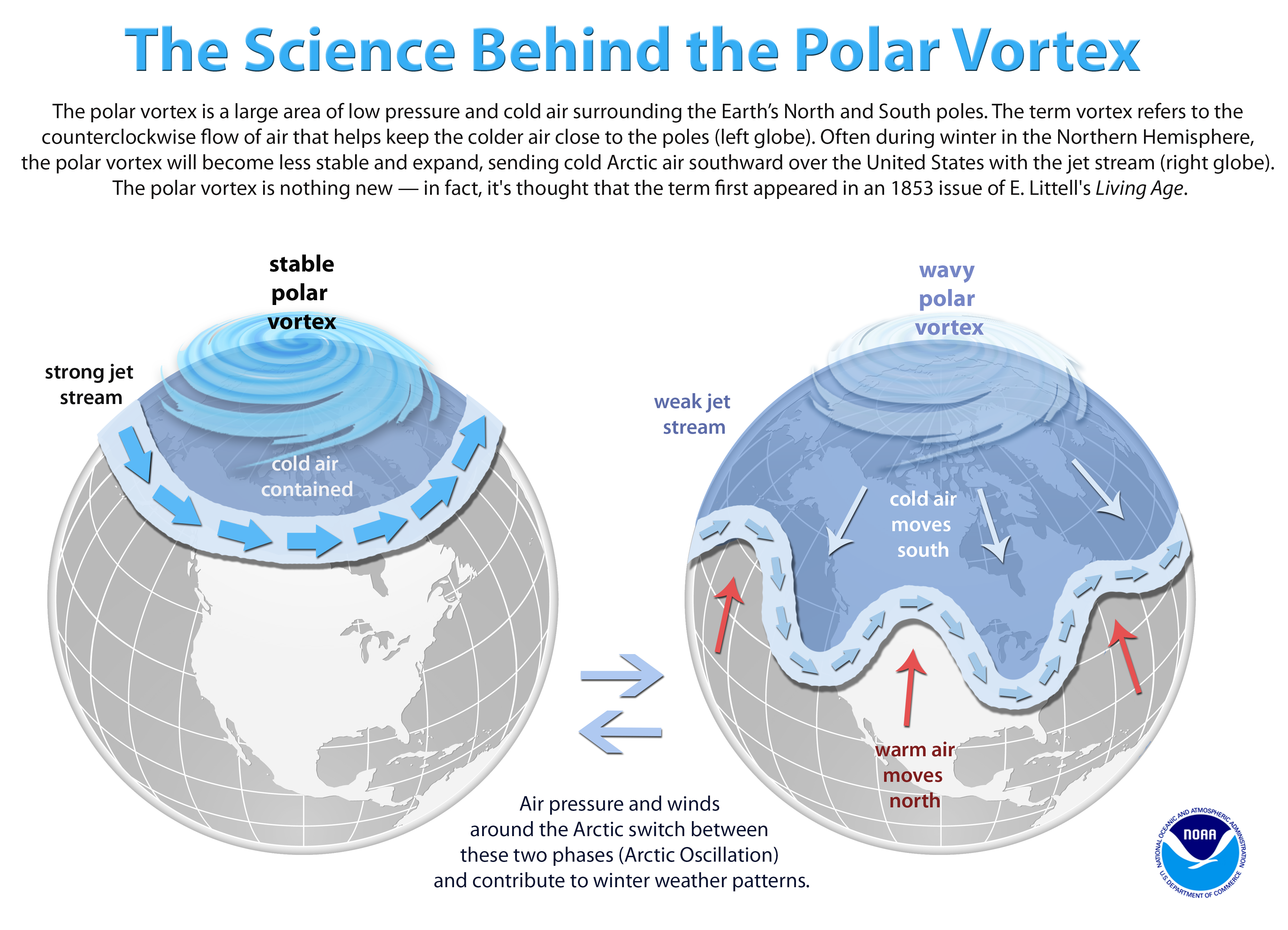
The polar vortex is an enormous mass of arctic air that is surrounded by strong winds. It wanders during the winter, often bringing severe winter weather with it.
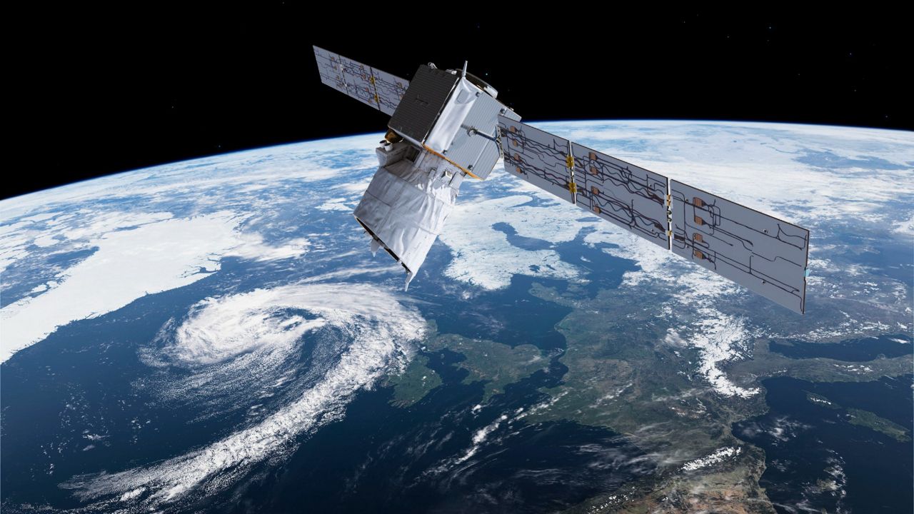
One of the newer tools for keeping tabs on this phenomenon is a satellite from the European Space Agency named Aeolus.
They approved it in 1999 for a 2007 launch, but it suffered from an 11-year delay. They launched it on Aug. 11, 2018.
The satellite uses short, powerful bursts of ultraviolet light and then measures the slight differences in the ultraviolet light when it returns to the sensor. We know this as a “Doppler shift” and it shows the direction and speed of the air, which is the wind.
By doing these measurements over a large area, the satellite can “see” the winds that surround the polar vortex, so we get a picture of its current state.
In the past, land and aircraft measurements collected this data. This limited the study of the polar vortex, since it covers thousands of miles, often over areas where there are no weather sensors or regular aircraft traffic.
The data from the satellite is very helpful to meteorologists who study the polar vortex, but it also has applications to your local forecast.
Since January, data from Aeolus has been included in the ECMWF weather forecast model, more commonly known as the European model. This is one of the main forecasting models that Spectrum News meteorologists use to make your forecast.