


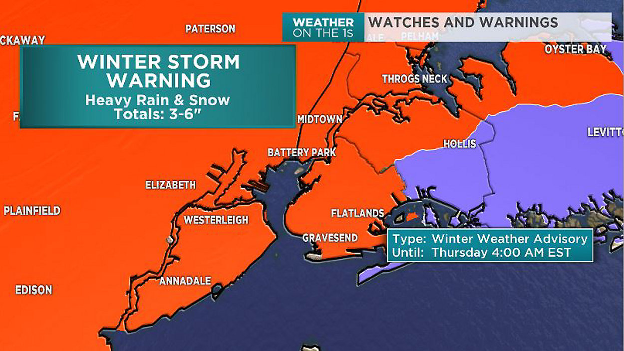
Our skies will clear out overnight and allow temperatures to fall back into the low 30s. With clearing, we'll likely start Tuesday with sunshine but as our next system approaches, clouds will increase into Tuesday evening. Once again two pieces of energy will come together to form a nor'easter. The storm doesn't really begin until Wednesday morning when steadier rain and snow begins. Mixing of rain and snow may occur until midday and then we will see a change to mainly wet snow. That snow will continue into about 10pm Wednesday evening. Accumulations could range quiet a bit across the city with 6-12 inches possible.
Once the storm exits we are left chilly and with a few lingering showers into Thursday and Friday.