


NEW YORK - Google maps introduced a new feature Thursday that lets commuters know how crowded their buses and trains are.
The "Crowdedness predictions" feature uses crowdsourced information from riders who were asked to rate their trips.
Some straphangers who spoke with NY1 said they would give it a shot, but others said they already use different apps.
"I would use this app if it told me how long a delay would be. I think Google Maps can tell you sometimes the delays. So I feel like I'd use Google Maps," said one rider.
"Definitely. Just be more time sensitive. Give you more time to plan and stuff like that. It'd be helpful," said another rider.
"Probably not. I already use Citimapper which kind of tells me the traffic," said a third.
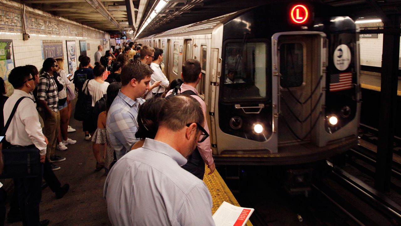
Google used the data to make a list of the top 10 most crowded train lines in the world.
The only U.S. line to make the list was the city's "L" Train, in 10th place.