


Another nor'easter is expected to drop snow and rain on the city Wednesday, although the snowfall totals will not be as significant as first anticipated.
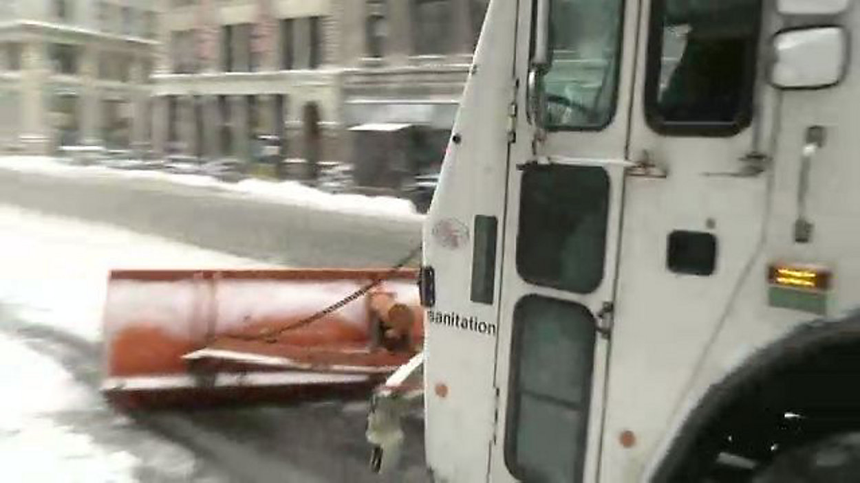
The city sanitation department has issued a Snow Alert. That means crews are getting plows and equipment ready and coordinating response efforts before the first flakes begin to fall.
Alternate Side Parking rules are scheduled to be suspended on Wednesday and Thursday.
Parking meters will remain in effect citywide.
New York City public schools will stay open Wednesday.
If the temperature is warm enough Wednesday, the city would see more rain and less snow. But if the opposite happens, the city would see more snow.
An area of low pressure that was originally out in the Great Lakes has been transferring its energy to a new area of low pressure, which, as of this writing, is developing off the East Coast. It is expected to move to the north and east but track close enough to the coast that enough warm air should come in off the Atlantic Ocean to mix in a significant amount of rain.
The forecast
NY1 is forecasting that most of the city will see 3 to 6 inches of snow Wednesday, with low amounts — 1 to 3 inches — possible along the ocean in Brooklyn and Staten Island, with more rain mixing in for those areas. The Bronx will see the most snow.
Earlier forecasts called for 6 to 12 inches of snow for the city overall.
Snow is forecast to start Tuesday night with a few flakes or rain, but steady snow and rain will develop between 6 a.m. to 8 a.m. Wednesday.
Rain and snow is projected to divide the city in half around 8 a.m. Wednesday, as Brooklyn and Queens will possibly see rain at that time.
Heavy snow and rain is likely between 11 a.m. and 6 p.m. Wednesday, tapering off before midnight Wednesday.
The National Weather Service has issued a Winter Storm Warning for most of the five boroughs, Tuesday night through Wednesday. A Winter Weather Advisory is in effect for the southern half of Queens.
Heavy, wet snow is projected in the city, along with wind gusts of about 40 miles per hour. Some rain is expected as well.
The last nor'easter, which hit the city Friday, brought winds gusts that were close to 70 MPH at their peak. That storm was a mixture of heavy rain and snow, with little accumulation.
The roads will likely be wet when the storm starts Wednesday, but that is projected to change as the day goes on and the snow accumulates.
Transit and travel changes
No subway or bus service changes have been announced at this time, but that could change as the storm hits the city. Visit mta.info for the latest updates.
At least 250 scheduled flights at JFK Airport have been cancelled, as well as more than 200 at LaGuardia Airport, as of the time of this writing. More delays and cancellations are likely at local airports Wednesday. Check your airline provider for the latest updates.
Amtrak Keystone Service between New York, Philadelphia, and Harrisburg, and Amtrak Empire Service between New York and Albany-Rensselaer, will run on an adjusted schedule.
Keystone Services 605, 609, 647, 651, 642, 646, 656, and 620 and Empire Services 230, 234, 238, 242, 233, 235, 239, and 243 will be cancelled.
All of Northeast Regional and Acela Express services, which run through New York, will be cancelled as well. Train 178 will run only between Washington, D.C. and New York City.
Visit amtrak.com for the latest updates.
New Jersey Transit will operate on a limited weekday schedule Wednesday.
The Staten Island Ferry will run every 20 minutes during rush hour.
City response
The Department of Sanitation will have more than 693 spreaders in-place when the first snowflakes fall. If more than two inches of snow accumulates, the department will dispatch at least 1,500 plows, and will dispatch additional plows if necessary.
The department also said it has more than 293,000 tons of salt available.
The city's emergency operations center will activate Wednesday morning to coordinate storm response with all of the city's agencies.
Normal garbage collection is currently scheduled for Wednesday, but they may be delayed depending on how much snow falls.
Alternate Side Parking will be suspended Wednesday and Thursday.
A Hazardous Travel Advisory will be in effect Wednesday. City officials encourage residents to take mass transit as much as possible.
Heating and safety
The city is reminding New Yorkers to call 311 if they see a person living out on the street, as a person can suffer frostbite in 30 minutes.
Also, call 311 or log on to NYC.gov if you have heating complaints. According to the city, landlords are required to maintain the heat inside at 68 degrees Fahrenheit or above when the temperature is 55 degrees or below outside between 6 a.m. and 10 p.m.
Between 10 p.m. and 6 a.m., landlords are required to maintain the heat inside at least 62 degrees Fahrenheit or above, regardless of the temperature outside.
Temperatures
The temperatures Wednesday will be in the mid-30s Wednesday.
The end of the week and weekend is forecast to be partly cloudy and dry, with high temperatures in the mid- to upper-40s.
All winter weather information and information about the city’s response to the storm can be found by visiting the city’s severe weather website at www.nyc.gov/severeweather or by calling 311.
Beyond New York City
If you intend to travel, be aware that the storm is projected to be more serious outside the city.
New Jersey is expected to receive 6 to 12 inches, depending on the part of the state.
Putnam and Westchester Counties are expected to see 8 to 10 inches, while Orange County will see at least 12 inches of snow.
Long Island is projected to see 2 to 4 inches, with more rain than snow.