


After a week that packed a forecast of wintry weather across the entire state of North Carolina, the weekend will bring a huge contrast as temperatures warm to well above average levels under lots of sunshine.
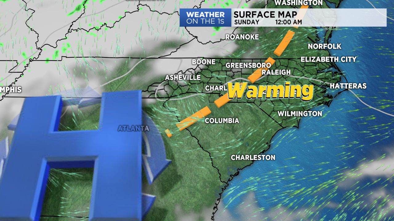
High pressure building in across the southeastern United States will continue to keep conditions dry through both Saturday and Sunday before it begins making its trek offshore. Highs will be 20 to 25 degrees warmer than the cold temperatures central North Carolina experienced Thursday, with temperatures warming into the 60s for many by Sunday.
By Monday, an upper level low crossing the Central Plains will push eastward towards our region, increasing cloud cover through the day. Light rain will move in late Monday into early Tuesday morning as the cold front associated with this system sweeps through before quickly exiting the region. Even with the passage of this front, temperatures won't cool down too terribly much in the wake of it. In fact, daytime highs should remain above average through the remainder of the work week, with low to mid 50s on tap for the Piedmont and Triad and 40s for the mountains. Wintry weather will stay out of our forecast for the next several days and likely for the remainder of January!
Get the latest news, sports and weather delivered straight to your inbox. Click here to sign up for email and text alerts.