


The first day of November kicked the new month off to a warm start across central North Carolina Wednesday with daytime highs coming in near 10 degrees above average.
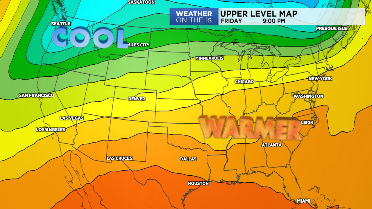
With strengthening southwesterly flow in place through the end of the work week, temperatures will continue to climb through Friday. By Friday afternoon, some areas across the Piedmont will likely hit the 80-degree mark.
In the meantime, high pressure remaining across the southeastern United States will keep the forecast largely dry, with the exception of a few high country showers Friday afternoon.
A pattern change will be underway Friday into Saturday as a backdoor cold front pulling in from the northeast sets up a wedge-like pattern across the state.
With winds shifting to the north and east, clouds will build in for Saturday and allow for the chance of scattered showers through the day.
Weak cold air damming will cool temperatures towards average levels, with highs likely topping off in the upper 60s and low 70s, depending on how strong the so-called "wedge" is.
This pattern will be short-lived, however, as temperatures are expected to warm back to unseasonal levels by early next week.