


Despite mild temperatures Friday, New Yorkers are drying out after they faced some periods of heavy rain ahead of a drastic rush of wind chills this weekend.
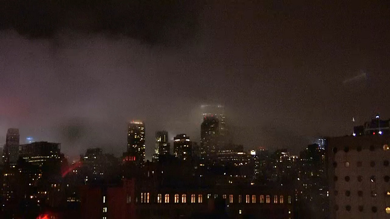
An area of low pressure has brought the city a significant amount of moisture. The city saw downpours between 2 to 3 p.m. and some periods of heavy rain over the next few hours.
The biggest impact to the evening rush was airport delays due to the fog and wind, as JFK Airport was facing delays of over five hours Friday.
The next sustained surge of heavy rain in the city is forecast for 2 to 6 a.m. Saturday.
A high of 61 degrees was recorded in the city Friday, but the cold snap is starting to creep in with a low under 45 degrees.
Temperatures will fall even more overnight. Wind chills will be in the teens Saturday morning and are projected to be in the single-digits Saturday night.
A wind chill of less than 6 degrees is possible Sunday morning.
Overall, the temperatures are projected to be 35 degrees colder Sunday morning compared to Friday night.
The cold is slated to stay with the city through next week, with snow possible Wednesday.