


ORLANDO, Fla. -- Father’s Day featured plenty of sun and strong storms for parts of the area, with highs again in the low 90s.
- Father's Day storms
- Rain chances falling
- Drier air moves in Monday
The pattern for isolated showers will continue as drier air pushing itself into Central Florida, so not everyone will see rain.
High temperatures will continue to stick in to low-90s, with the overnight lows hovering in the mid-70s for the rest of the week.
- View LIVE Interactive StormTracker 13 Radar Map
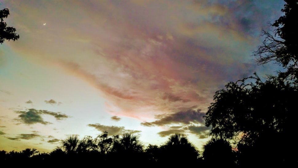
- View our LIVE Sky 13 Weather Cameras
- Sign up for Severe Weather Alerts
Rain chances will pump back up by the start of the weekend.
Surf conditions for tomorrow will be very poor as ESE trades swell remains in place. The UV index will be extreme, so don’t forget to reapply sunscreen as it takes under ten minutes for sunburn.
Sea surface temperatures are in the low 80s making it pleasant for swimming. However, the rip current is moderate, so it is always best to swim close to a life guard tower.
Tropical Update
In the tropics, an area of low pressure in the central Gulf of Mexico has a slight chance for tropical formation as it moves toward the Texas coast. No threat to Florida.
Hurricane season ends Nov. 30, 2018.

We want your pictures!
Show us what the weather looks like in your neighborhood. Your photo could end up on Spectrum News 13.
- Get the Spectrum News 13 app for iOS or Android
- Tap "Submit Content" at the bottom of the app menu
- Remember to include your name and location