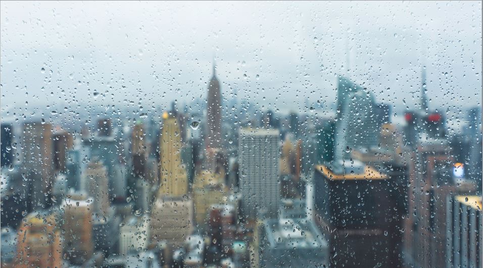
A stationary front over the area gave the five boroughs a gray and damp Saturday, and afternoon temperatures struggled to get out of the 70s for the third time this month.
The clouds and raindrops will likely stay in place through Monday as the remnants of Tropical Storm Gordon move through the area. The heaviest precipitation is expected Sunday night into Monday morning, and some areas could see over an inch of rain. Temperatures will stay below normal as well, with afternoon highs only reaching the mid 60s on Sunday and low 70s on Monday.
Warmer and more humid conditions are in store for Tuesday and Wednesday, but, the threat of spotty wet weather will remain. Temperatures will rise into the low 80s. For now, skies are looking partly cloudy for Thursday and Friday, but, that could change if Florence tracks closer to our area.


