


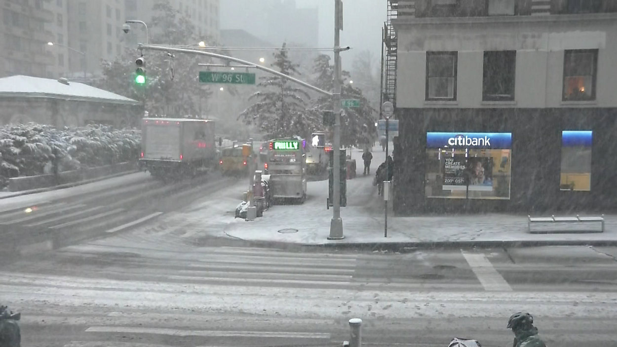
The storm that hit Thursday emerged in forecasting models last week, and by the start of this week, we were confident that a November Nor’easter with a lot of moisture would hit town.
However, my forecast was for a coating of snow on the grass.
That definitely did not happen. So what did happen?
Weather models showed a scenario where we’d have cold air at the start but then east winds would send the relatively warm air over the ocean our way, turning the flakes to raindrops.
What ended up happening: high pressure stayed anchored in Maine instead of moving out over the Atlantic. Northeast winds kept pouring cold air into the city, allowing the precipitation to stay mainly snow.
Another factor: We haven’t seen a storm like this in our lifetimes, and even in our grandparents' lifetimes.
The last November storm with this much snow in one day was in the 1800’s. Nearly every November Nor'Easter since then brought rain to the city. That track record influenced the forecasts, too.
Finally, predicting snowfall totals is difficult, especially with a storm that packs so much moisture and with temperatures close to freezing.
We set a range from the minimum expected to the maximum. And like a field goal kicker, we try to hit the middle.
With this storm, our forecast was wide right, very wide right. The snowfall exceeded what we ever thought the worst case scenario could be.