


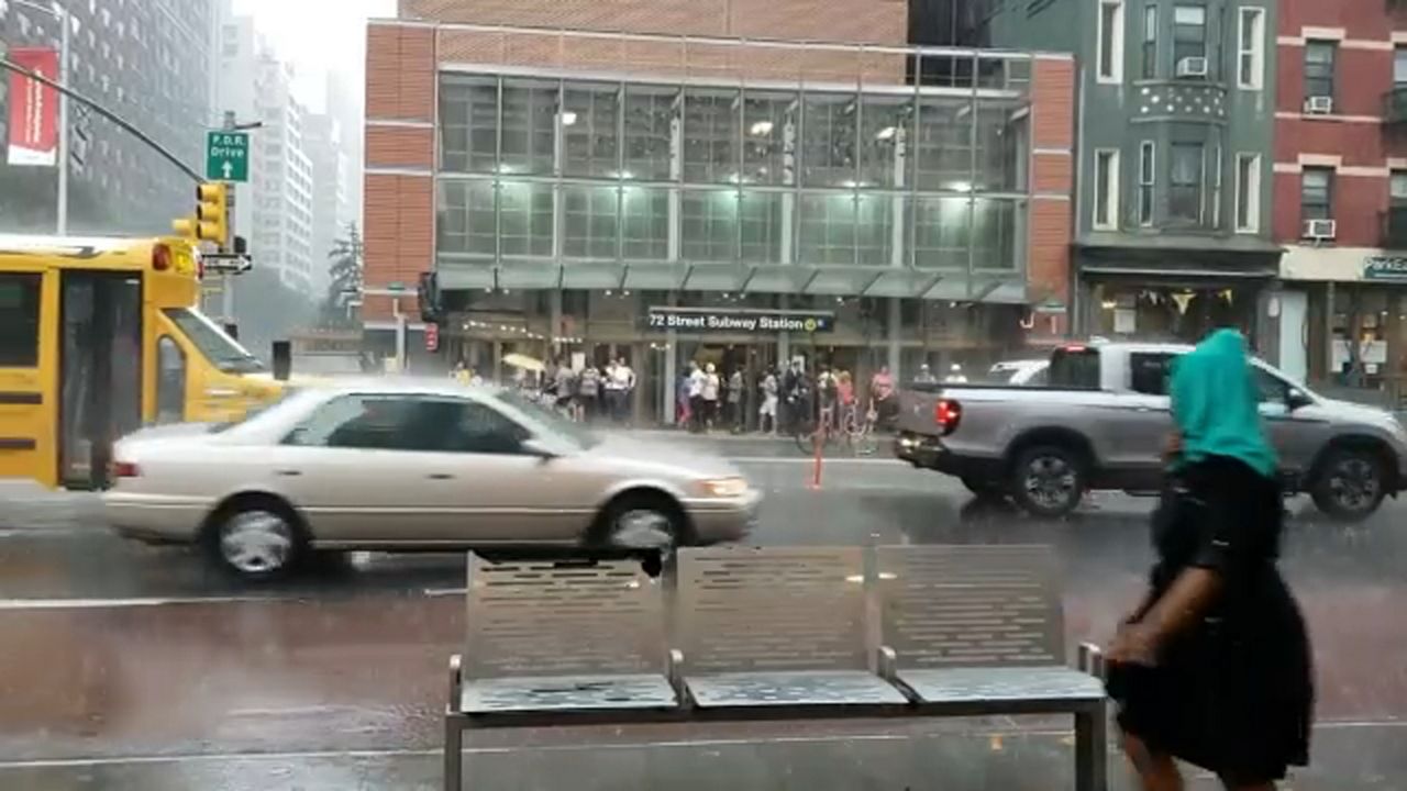
Leftover flooding is possible as rounds of storms hit New York City on Tuesday evening after rush hour commuters faced some downpours and the threat of flash flooding.
BACK AND FORTH STORMS IN THE CITY
Waves of storms were projected to hit the city around 7 p.m. and 9 p.m., with each round of precipitation expected to last about 30 minutes. The showers are slated to end by overnight. A low temperature of 72 degrees is expected in the evening.
The National Weather Service had issued a Flash Flood Warning for Brooklyn, Manhattan, Queens, and the Bronx that expired before 5 p.m.
Heavy rain began to fall in Chelsea around 3:45 p.m., but most of Manhattan was already clearing up by 4:20 p.m. The worst of the storms left the rest of New York City by 5 p.m.
An inch of rain was recorded in parts of the five boroughs and was expected to produce flooding on highways and city streets.
New Yorkers are advised to never drive into flooded roadways.
FIRST THE RAIN, THEN THE HEAT WAVE
The sun is forecast to return Wednesday after six consecutive days of rain, but at a cost: A high temperature near 90 degrees is expected, although New York City will not be as humid as it has been in recent days.
Temperatures near 90 are projected Thursday and Friday. If that happens, the city will mark its third heat wave this summer and the second one this month. This has been New York City's wettest August in seven years, and the city has seen a month's-worth of rain in the past two weeks alone.
New Yorkers could face more rain Friday into Saturday with temperatures dropping from the mid-80s back to the low-80s. Sunday is forecast to be cloudy and dry.