


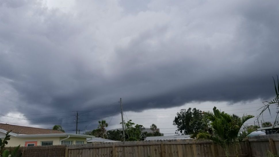
It was a very wet Saturday across Central Florida, with the rain slowly diminishing in the evening.
- Showers to redevelop Sunday morning
- Overnight lows in the 70s
- Flooding could be a concern
- SEE BELOW: See our 7-day forecast ▼
Showers will actually redevelop during the early morning hours, with mostly cloudy skies. Overnight lows will be in the low 70s.
We will close the weekend on a very soggy note. It now looks like much of the daytime hours will be wet, with periods of showers and storms. Some flooding could become a concern later in the day, especially along the coastline. Highs for Sunday will only be in the upper 70s courtesy of the rain.
- RELATED: StormTracker 13 INTERACTIVE radar
- WEATHER ON THE GO: Download the Spectrum News 13 app and get StormTracker 13 & Safety Net alerts wherever you are
- GET WEATHER ALERTS: Sign up to receive weather text alerts from Spectrum News 13
Slightly drier air does move in to start the work week. We will still see showers and storms, but the morning hours are expected to be quiet. Highs for Monday will be in the low 80s.
Even lower rain chances are expected Tuesday and Wednesday. Expect morning sunshine with scattered showers and storms developing both days. Highs for Tuesday and Wednesday will be back int the mid to upper 80s.
The active weather pattern will march on heading into Thursday. We’ll again see AM sunshine and PM storms developing. Temps for Thursday will be in the upper 80s.
Changes begin to arrive Friday and heading into Memorial Day weekend. More deep tropical moisture will march into Florida, resulting in high rain chances. Highs will hold in the low to mid 80s.
View LIVE Interactive StormTracker 13 Radar Map

We want your pictures!
Show us what the weather looks like in your neighborhood. Your photo could end up on Spectrum News 13.
- Get the Spectrum News 13 app for iOS or Android
- Tap "Submit Content" at the bottom of the app menu
- Remember to include your name and location