


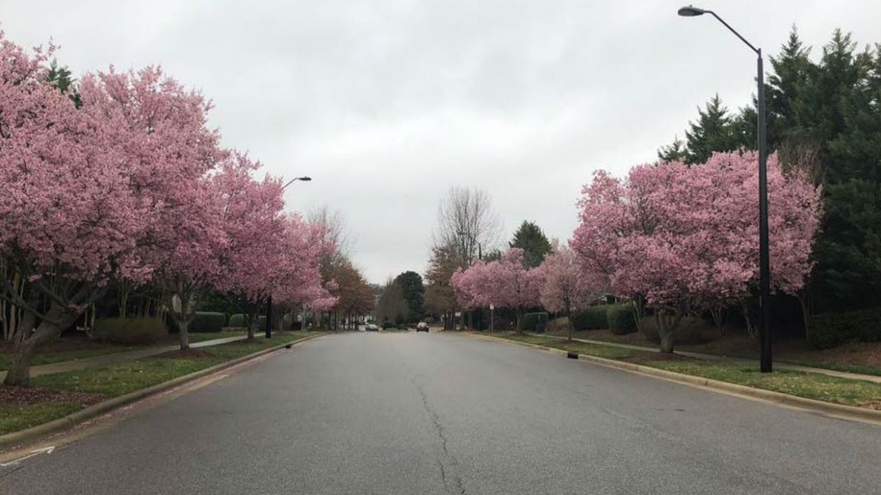
It may only be February, but trees and flowers are already blooming across North Carolina. That, of course, is thanks to our unusually warm weather this week.
Afternoon temperatures have been running about 20 degrees above average the last couple of days, and it looks like we will see more of the same this weekend.
Before the weekend officially arrives, there will be a wide range in temperatures across the region Friday.
A cold front has briefly moved just south of the Virginia border. It will eventually lift to the north as a warm front.
However, temperatures may only warm to the 60s north of the Triangle. Around Raleigh and Durham, look for highs near 70 Friday afternoon. Locations to the south and southeast of the Triangle including Goldsboro and Fayetteville will return to the upper 70s or even to near 80.

Friday will be the third day in a row for a record high in Fayetteville. Raleigh saw record highs on Wednesday and Thurdsday, but should stay below the record for Friday.
Near records are possible through the weekend. Highs in the upper 70s to near 80 are expected all around central North Carolina for Saturday and Sunday.

Much of the weekend will be dry, but there is a slight chance for a few isolated showers Saturday afternoon. Then look for a few more showers late Sunday and again Monday.
High temperatures will return to the 60s most days next week.
Get the latest news, sports and weather delivered straight to your inbox. Click here to sign up for email and text alerts.