


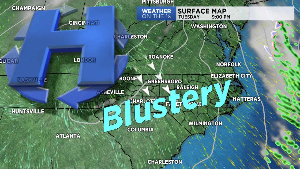
High pressure moving quickly back into the region Tuesday will allow for a day of clear skies and sunshine, but will be paired with blustery, cold conditions.
Winds will become strong out of the northwest region-wide Tuesday with periodic gusts near 25 mph possible across the Piedmont as winds remain sustained between about 9 and 15 mph.
The High Country will endure the strongest of the winds along with some light snow showers through early Tuesday morning, with gusts near 35 mph possible through the day.
This will make for a very cold day for the mountain counties, with wind chills likely remaining in the single digits. Highs will top off in the low to mid 40s in the Piedmont, with 20s in the mountains.
Winds will die down quickly overnight under mostly clear skies. Winds shifting back to the south Wednesday into Thursday will allow for warming temperatures into the middle of the week ahead of a cold front that will move through late Thursday night.
Expect rain Thursday night into Friday with snow showers in the mountains.
Like last weekend, Saturday should remain dry before an additional system brings wet weather back for Sunday.
Get the latest news, sports and weather delivered straight to your inbox. Click here to sign up for email and text alerts.