


A strong low pressure system will move through late Friday, bringing a round of heavy rain, the potential for a few isolated thunderstorms and then a big cool down and drier conditions for the weekend into early next week.
Friday morning will feature patchy fog along with ongoing showers across the western Piedmont and mountains. Charlotte and its immediate surrounding areas will experience light spotty showers at best through the early afternoon before things begin to ramp up later in the day.
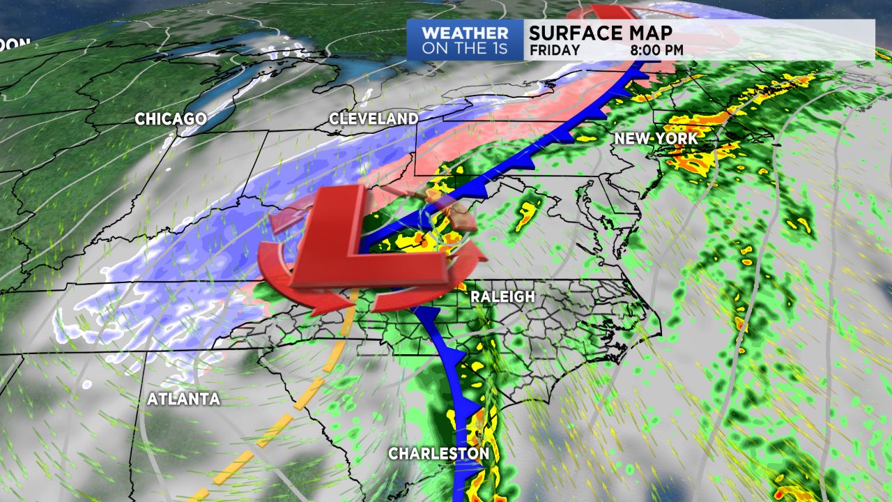
A strong cold front will sweep through the region Friday evening, bringing a fast-moving line of heavy rain, where a few thunderstorms firing up along the front can't be ruled out, particularly for areas east of I-77.
Once the front exits the region tonight, so will the bulk of precipitation across the Piedmont. The mountains, on the other hand, will likely look for lingering upslope showers that will make the transition to light snow showers by Saturday morning and be coupled with blustery winds.
Cool and dry air will file in behind the front, leading to a weekend of sunshine and temperatures dropping back into the 30s and 40s for highs.