


After another day in the 60s for many across the Piedmont Wednesday, temperatures will continue to stay warm through this work week as a cold front approaches from the west, bringing rain and a chance for thunderstorms before cooler and drier air follows for the weekend into early next week.
Moisture streaming in from the south and east today will allow for light showers early in the mountains and foothills before rain becomes more widespread by this afternoon. Despite the cloud cover today, daytime highs will be topping off the in the 50s to 60s. A heavier, steady rain is expected this evening into the early overnight hours, particularly for the mountains and foothills, before becoming more intermittent and showery by Friday morning.
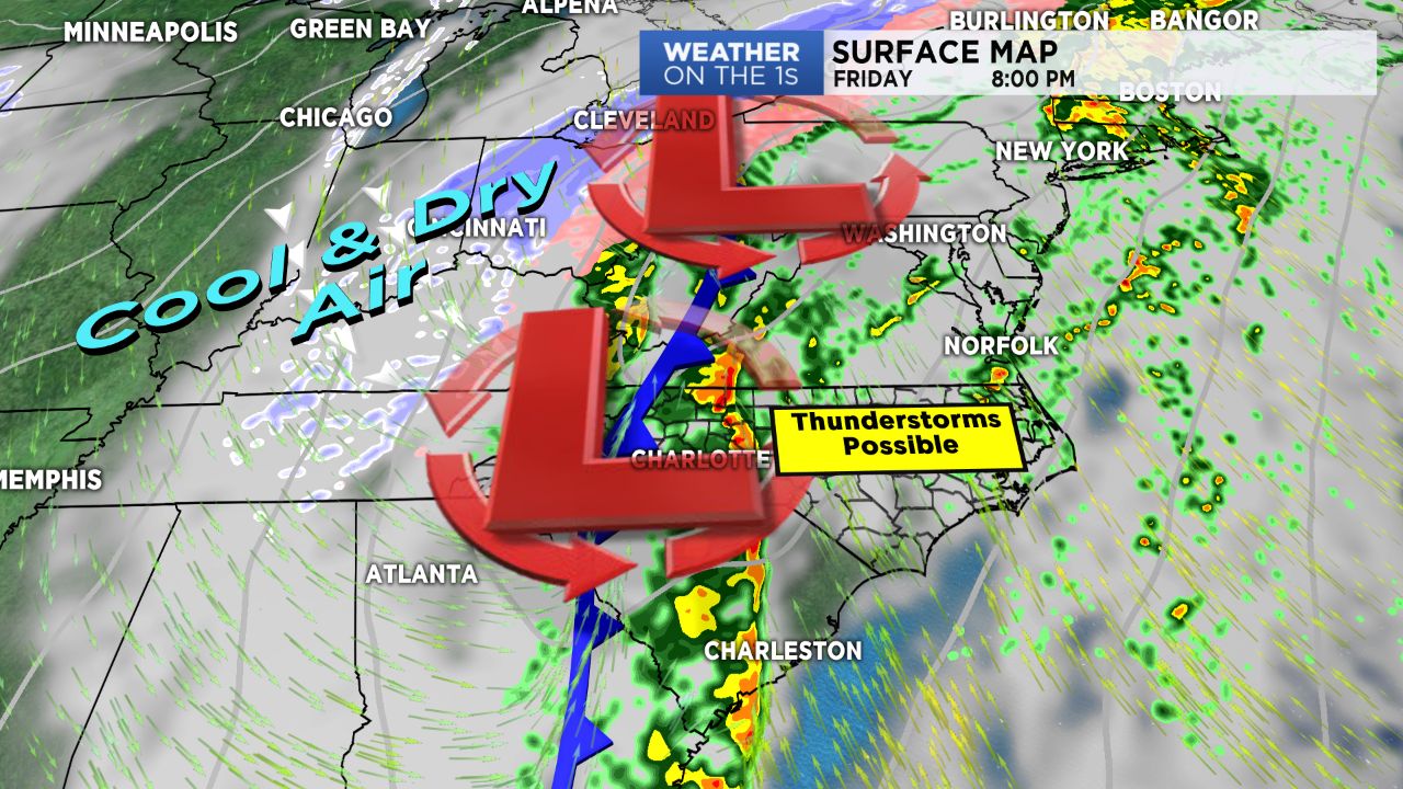
After Friday morning's "lull" in major activity, things will pick right back up by Friday afternoon. The aforementioned cold front will begin moving through by late in the day Friday, bringing a heavier line of rain through the region, where a few weak thunderstorms can't be ruled out across lower elevations.
Behind the front, cool air will follow, allowing for a few light snow showers in the mountains early Saturday morning. Dry and chilly conditions will resume this weekend into early next work week with another shot of cold air expected for late in next week.
Get the latest news, sports and weather delivered straight to your inbox. Click here to sign up for email and text alerts.