


A cold air mass over parts of the Midwest and Northern Plains will begin expanding to the southeast as arctic high pressure builds in across parts of the mid-Atlantic, resulting in a cold end to the work week. Cold conditions won't be letting up anytime soon. A second, stronger surge of arctic air moves in just in time for the New Year.
Wednesday will feature a slight chance for rain showers early in the morning across areas like Anson, Union, and Richmond counties. Otherwise, Wednesday will be dominated by high pressure building in from the northwest. Skies will undergo gradual clearing into this afternoon and evening with daytime highs topping off in the 40s to low 50s across the Piedmont and 30s in the mountains.
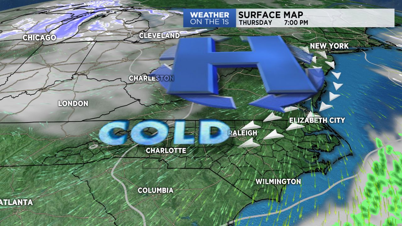
As winds shift back to the northeast Thursday, cold air damming will set up across the region, knocking temperatures down by about 10 degrees. Expect a cold day Thursday with temperatures only managing to reach the 30s after a morning in the 20s. This will just be a"taste" of what's to come for the new year.
Temperatures will remain below average into the weekend, with a small chance for snow showers New Year's Eve into Monday in the mountains. By late Sunday, a secondary, colder surge of air will begin moving in to kick off 2018. Highs For Monday through the middle of next week will be in the 30s with lows in the teens in the Piedmont and single digits across the High Country. Make sure your pets have a place to seek shelter from the cold!