


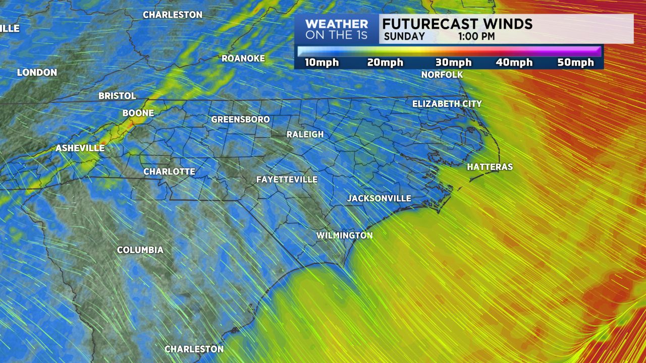
A cold front worked east of the region early Sunday, and breezy northwesterly winds remain in place behind the front. Those NW winds are ushering in colder air, and after highs today top out in the upper 50s and lower 60s, lows will drop into the vicinity of freezing tonight. Many mountain areas have picked up some snow as well through the early part of Sunday.
Monday's highs will be in the 50s under a sunny sky, and then look for some lower 60s Tuesday and Wednesday.
A coastal low pressure will develop late Thanksgiving, and that low could make for a wet Thursday night and Friday morning for areas close to the coast. For the Piedmont, most of that rain looks likely to swing to the southeast.
The rest of the holiday weekend the looks quiet.